Is GeoTag Camera really free, with no ads or subscriptions?
Yes. It's open source under the GPL, version 3 or later, and every feature works without paying. There are no ads and no trackers in the app, and there won't be.
Does it work without an internet connection?
Yes. Taking, stamping, signing and verifying photos need no connection. Addresses come from your phone's built-in geocoder, which usually needs the network, so I cache them on the phone: out of signal, the stamp uses the nearest address already looked up, and the Plus Code is always worked out on the device. The map works offline for places you've already shot in, and you can save a whole area before a trip.
What data does it collect?
None. Nothing is sent to me, because I didn't build a server. Location is only used while the camera screen is visible. The stamp map downloads OpenStreetMap tiles for your area from OpenFreeMap (no account, no key) and keeps them on the phone. The weather chip is off by default; if you turn it on, your position is rounded to about 1 km before it goes to Open-Meteo. Address lookup uses your phone's own geocoder, which on phones with Google services is usually Google's. App data is kept out of cloud backups and device transfers.
Do I need Google Play services?
No. Since 1.4.0 the app gets your location from Android's own location services, so it runs on phones without Google, including de-Googled ones. Without a geocoder on the phone the stamp still shows coordinates and the Plus Code.
How does the tamper-evident photo feature work?
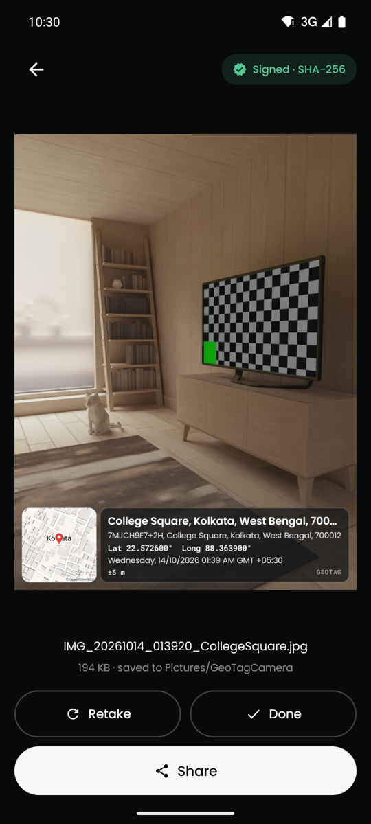
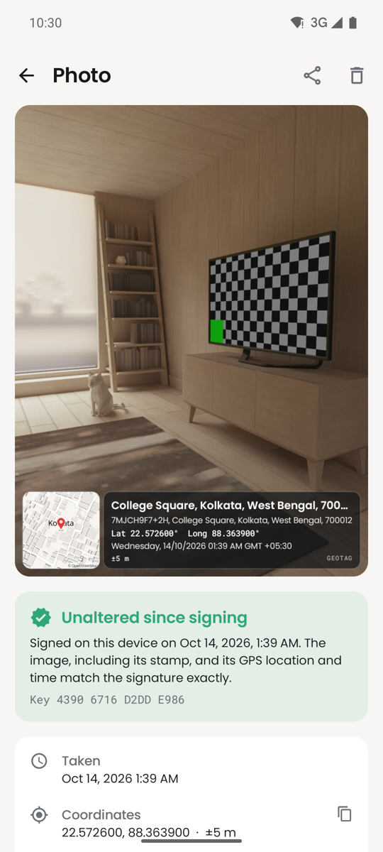
Every photo's image data is hashed with SHA-256 and signed together with the capture latitude, longitude and time, using a private key created on your phone in the Android Keystore. The hash, signature and public key are embedded in the photo, so the app can later check that the pixels, including the burned-in stamp, and the signed location and time haven't changed. It doesn't prove who took the photo or that the GPS was right, and re-compressing the photo breaks the check.
Can I verify a photo that someone else sent me?
Yes. The proof travels inside the photo, so anyone with the app can verify it on any phone, offline. The result shows a short fingerprint of the signing key and whether it is your own phone's key, so you can compare it with the fingerprint the sender gives you. Ask for the original file: messaging apps often recompress photos.
Which APK should I download?
Most phones want the arm64-v8a APK. Older 32-bit phones need armeabi-v7a, Chromebooks and emulators x86_64. If you're not sure, the universal APK works everywhere but is bigger. The download page has a table and the SHA-256 checks.
Why won't 1.4.0 install over my older version?
Versions up to 1.3.0 were signed with a development key and 1.4.0 uses the project's permanent key, so Android treats them as different apps. Uninstall the old version first, then install 1.4.0. Your photos stay in the gallery and still verify, and Gallery, Import photos re-adds them to the in-app list. Later updates install in place.
Is it on F-Droid or Google Play?
Not yet. The F-Droid and IzzyOnDroid listings are in progress, and the download page will link them once they're live. Until then, install the signed APK from GitHub, or let Obtainium keep it updated from there. A Play Store release may come later.
How do I add GPS location and time to photos on Android?
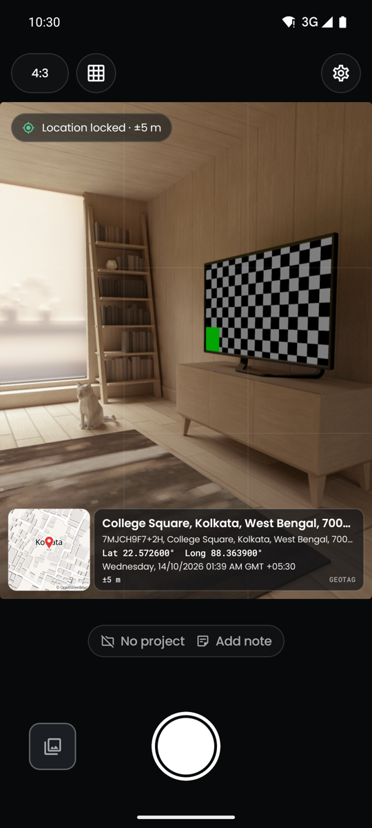
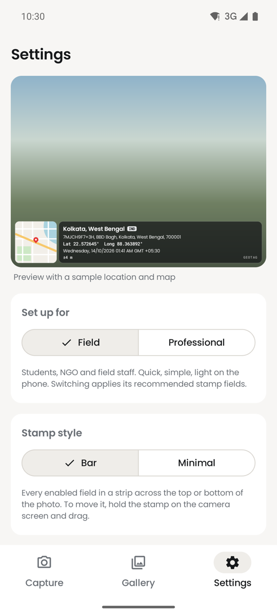
Install GeoTag Camera, allow camera and location, wait for Location locked, and take the photo. The place, address, coordinates, date and time (and a small map) are burned into the image, and the same location and time are written to the photo's EXIF data. Photos are saved to your gallery in Pictures/GeoTagCamera.
Is GeoTag Camera an alternative to GPS Map Camera or Timestamp Camera?
Yes, for the same job: a camera that puts location, address, map and time on the photo. The differences are that GeoTag Camera is free and open source with no ads, subscriptions or trackers, works without Google Play services, keeps its map available offline, and signs every photo so edits can be detected later.
Can I export photo locations to Excel, Google Earth or QGIS?
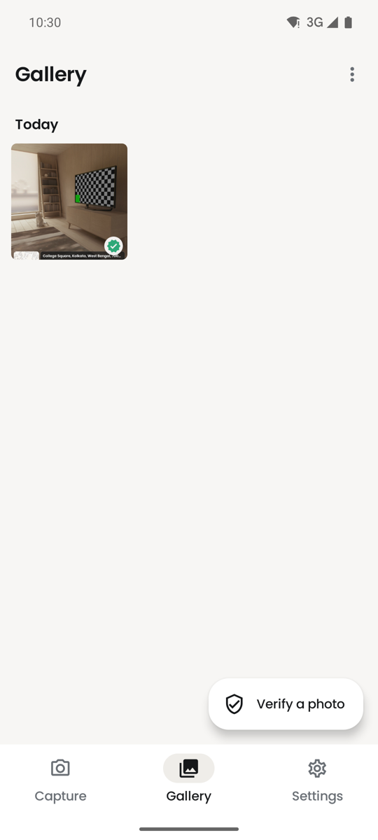
Yes. In the gallery, choose a project or select photos, then Export locations: CSV opens in Excel and Google Sheets, KML in Google Earth, and GeoJSON in QGIS or ArcGIS. You can also build a PDF site report with an overview map.
Who is it built for?
College students documenting fieldwork, land and infrastructure surveyors, inspectors, NGO and government field staff, and anyone who needs to show exactly where and when a photo was taken. The Field and Professional setups cover the two ends of that range.
Can I put my college or organisation's name on the stamp?
Yes, with a logo, a fixed custom line such as a contract number, and a hand-drawn signature. None of it is behind a paywall.